The latest edition of FARO® Zone 3D Software provides crime, crash, fire and security professionals with a multi-modal, capture-device agnostic software program that can diagram, document, and analyze forensic scenes.
Whether you're using data from drones, 3D laser scanners, 2D photos and/or other traditional measurement devices, no data collection method is left behind with Zone Software.
In this video, you'll learn about two important workflows available to public safety professionals that use Zone: crash diagramming (in 2D and 3D) and working with drone data.
Watch this video to learn about:
- 2D/3D Crash Diagramming
- Import of a satellite image
- Placing GPS coordinate pins throughout the scene
- Line Diagramming
- Adding dimensions and text
- Saving to Crash Reporting System
- Drone Data in FARO Zone Software
- Creating a point cloud with drone photographs via FARO FotoPoints
- Creating an orthographic photo of the drone data
- Line Diagramming
- Adding models, photographs, dimensions and text
- Merging drone data with laser scanner data
Presenter:
|
|
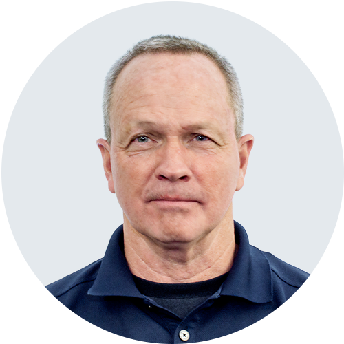
Russell Boynton - Sr. Field Application Engineer — Core Sales Russell Boynton is a Senior Field Applications Engineer and Subject Matter Expert in Crash Reconstruction at FARO Technologies. He has over 40 years of experience in documenting federal, state, and local crime and crash scenes, and has been qualified as an expert in crash investigation/reconstruction in most New England states. Russell trains, certifies, and supports public safety personnel in using 3-D laser scanning technology to document crash, crime, and fire scenes. |