Explore how advanced 3D scanning will help security, public safety, and emergency response teams build a more accurate foundation for planning and preparedness. The session will show how precise digital models of real-world environments will give teams better visibility into public spaces, critical infrastructure, and other security-sensitive locations.
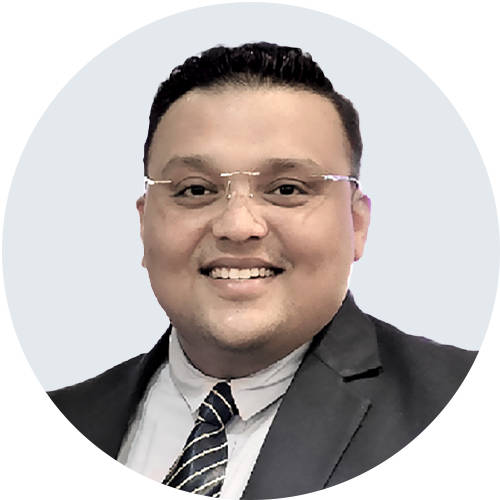
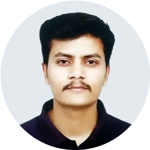
Our in-house experts Mohit Baunthiyal and Ajeet Kr. Kanaujia will discuss how 3D data will support key planning activities, from reviewing site conditions and assessing potential risks to preparing coordinated response strategies. Attendees will also learn how digital site information will help improve training, planning accuracy, and operational efficiency.
Register to learn how 3D scanning will help transform site information into actionable insight for stronger security planning and response readiness.
Learn:
- Learn how 3D site models help teams understand environments before planning security and response strategies.
- See how 3D data supports virtual walkthroughs, risk review, and more informed pre-incident planning.
- Understand how digital site information can improve training, coordination, and operational readiness during response.
Presenters
|
|
Mohit is a Technical Advisor at FARO INSIGHT with expertise in 3D LiDAR and reality capture, helping law enforcement and forensic agencies improve crime scene documentation, analysis, and decisions |
|
|
Ajeet brings expertise in 3D reality capture, LiDAR, and digital workflows, helping organizations improve accuracy, efficiency, and decision-making with advanced measurement technologies. |