You're invited to an exclusive live session where we will delve deep into the realm of 3D reality capture technology. Join us as we explore the nuanced differences between mobile scanning and terrestrial laser scanning — and uncover how they are more closely intertwined than you might think.
This webinar is tailored for architects, engineers, construction professionals, surveyors, and anyone keen on harnessing the latest advancements in mapping technology to enhance their projects.
Attend this webinar to learn:
- How terrestrial laser scanning delivers unparalleled precision for as-built documentation, structural inspections, clash detection and more.
- The importance of real-time mapping with Simultaneous Localization and Mapping (SLAM) for efficient construction progress monitoring, virtual simulation and more.
- The benefits of combining terrestrial laser scanning and SLAM for comprehensive data capture and enhanced project efficiency.
- How terrestrial laser scanning and SLAM reduce costs by minimizing rework and facilitating accurate as-built documentation.
- The synergistic applications of terrestrial laser scanning and SLAM in seamless project management and improved data capture.
Presenters:
|
|
Shameer Mohamed | Field Applications Engineer | FARO Technologies Shameer Mohamed is a Field Applications Engineer with seven years of experience providing CAD/CAM and laser scanning technology solutions to the manufacturing industry. |
|
|
Andy Heng | Supervisor, Field Applications Engineering | FARO Technologies Andy Heng holds a diploma in electronic engineering and has worked in mechanical and civil engineering for over 20 years in both the private and public sectors. |


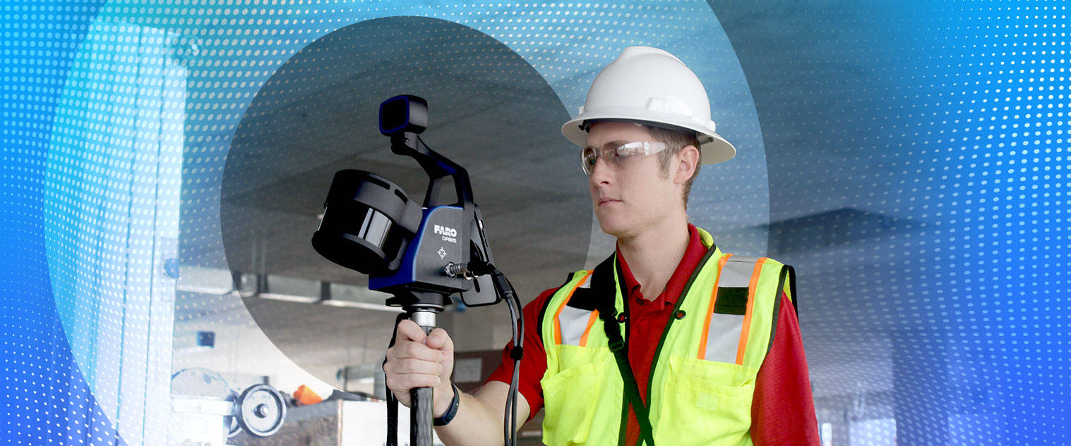
Don't miss this opportunity to gain valuable insights from industry experts and explore cutting-edge technology — like the new FARO® Orbis™ Mobile Scanner.
Register below to save your spot and learn how to improve your project outcomes with FARO's hardware and software solutions.