Infographic

Choosing the Right 3D Laser Scanner for Surveying and Mapping

Choosing the Right 3D Laser Scanner for Surveying and Mapping

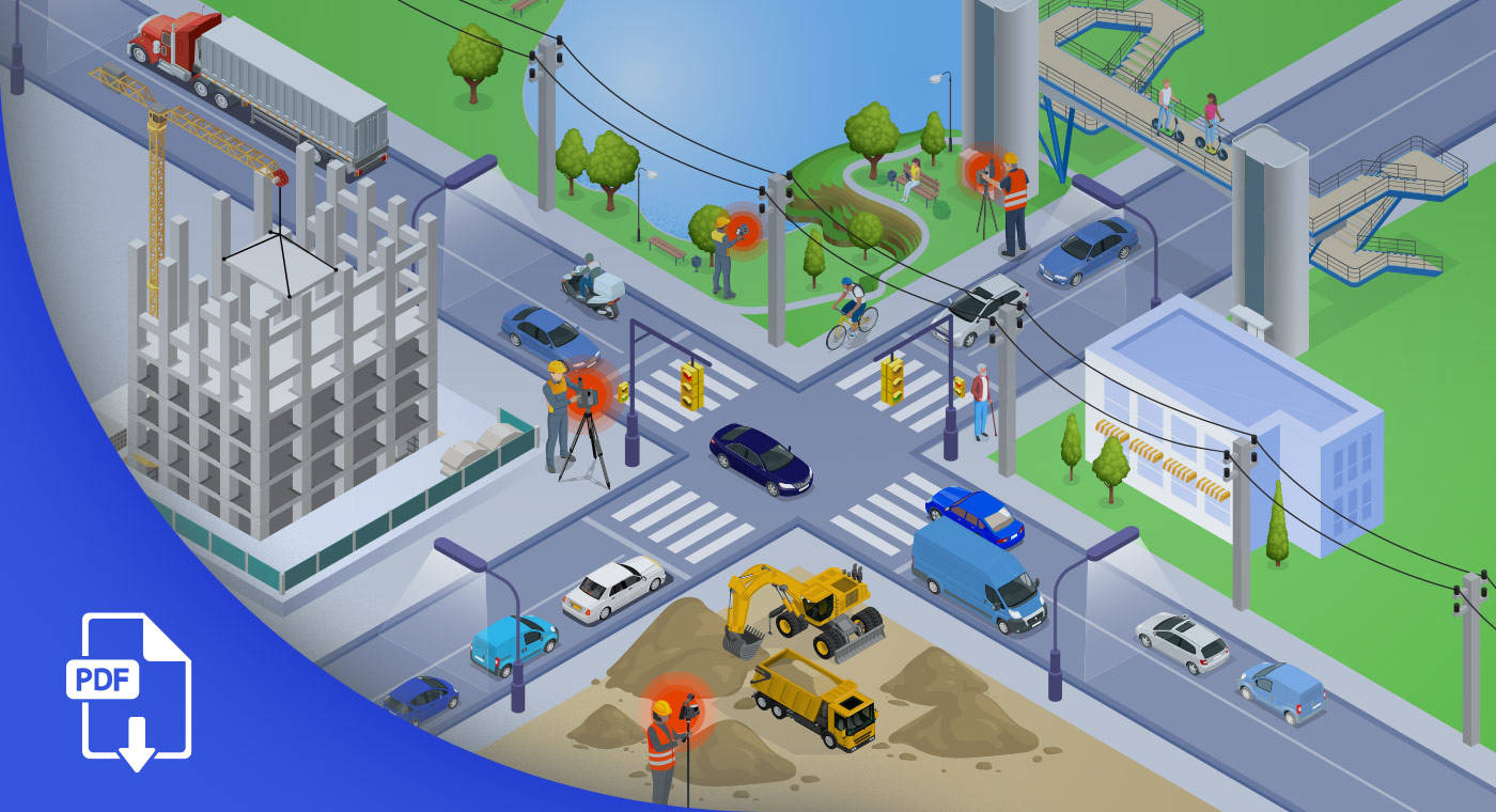
Surveying and mapping projects vary widely in scope, terrain and complexity. Whether you are capturing infrastructure details, stockpile volumes or topographic features, choosing the right 3D laser scanner is critical.

This infographic compares FARO Orbis and FARO® Focus scanners across key use cases including corridor mapping, infrastructure surveys, volumetric analysis and topographic terrain capture. Use this visual guide to match your project needs with the right scanning solution based on speed, mobility and accuracy.

Infographic
Awareness
Surveying & Measurement
As-Built Capture & Modeling
Construction Progress Management
Design Layout & Projection
Digital Twin for Asset & Facility Management
Forestry
Geospatial
Measurement Service Providers
Mining
3D Scanners
Mobile Mapping Systems
Software - Architecture, Engineering & Construction
FARO Sphere
Flash
Focus
Orbis
SCENE
Architecture, Engineering & Construction

Subscribe to our newsletter to stay up to date.

Related Content

Filters

Filters